Thursday, August 18, 2011

Lanzarote Trees

I've been encouraged by Little Nell to take the plunge and contribute to Sepia Saturday, and since my home of Lanzarote is essentially an offshore bit of the Sahara, this week's theme about trees seemed like plunging in the deep end!  This first picture, of a Dragon Tree on Tenerife, a neighbouring island, qualifies as old, since I took it on honeymoon 36 years ago, and the tree itself is hundreds of years old.


Most of Lanzarote's trees are palms, but there are exceptions, such as this Papaya in a street in Haria.


And this Acacia, clinging to the cliff  over a footpath running a thousand feet above the sea at Famara.


Every Christmas huge "presents" are hung from this huge old fir in the plaza mayor - the town square - of Haria  where they dangle over the heads of the customers in the cafe below.


Sometimes the palms suffer in the strong trade winds, like this one, bowed but not defeated when it was partially uprooted, but which clawed its way back to the vertical - it's not really being supported by my walking group!

 
Sometimes, they are colonised by euphorbias, such as this parasitic growth


  And sometimes they give in, die, and fold over like this one, reminiscent of an elephant's trunk


The weather is not always perfect here, as this rather surreal image of palm trees in the mist (no gorillas though) shows:


One of our friends, on seeing this blog, sent me a photograph of a very old Acacia in his beautiful garden  overlooking Fuerteventura, across the Bocaina Straits


And finally, an artificial Christmas tree in the Marina Rubicon, Playa Blanca. To me, this picture sums up, better than a thousand words, why we live here in Lanzarote!


El Golfo to Tenezar

On 12 March 2010, David S. David P and I 
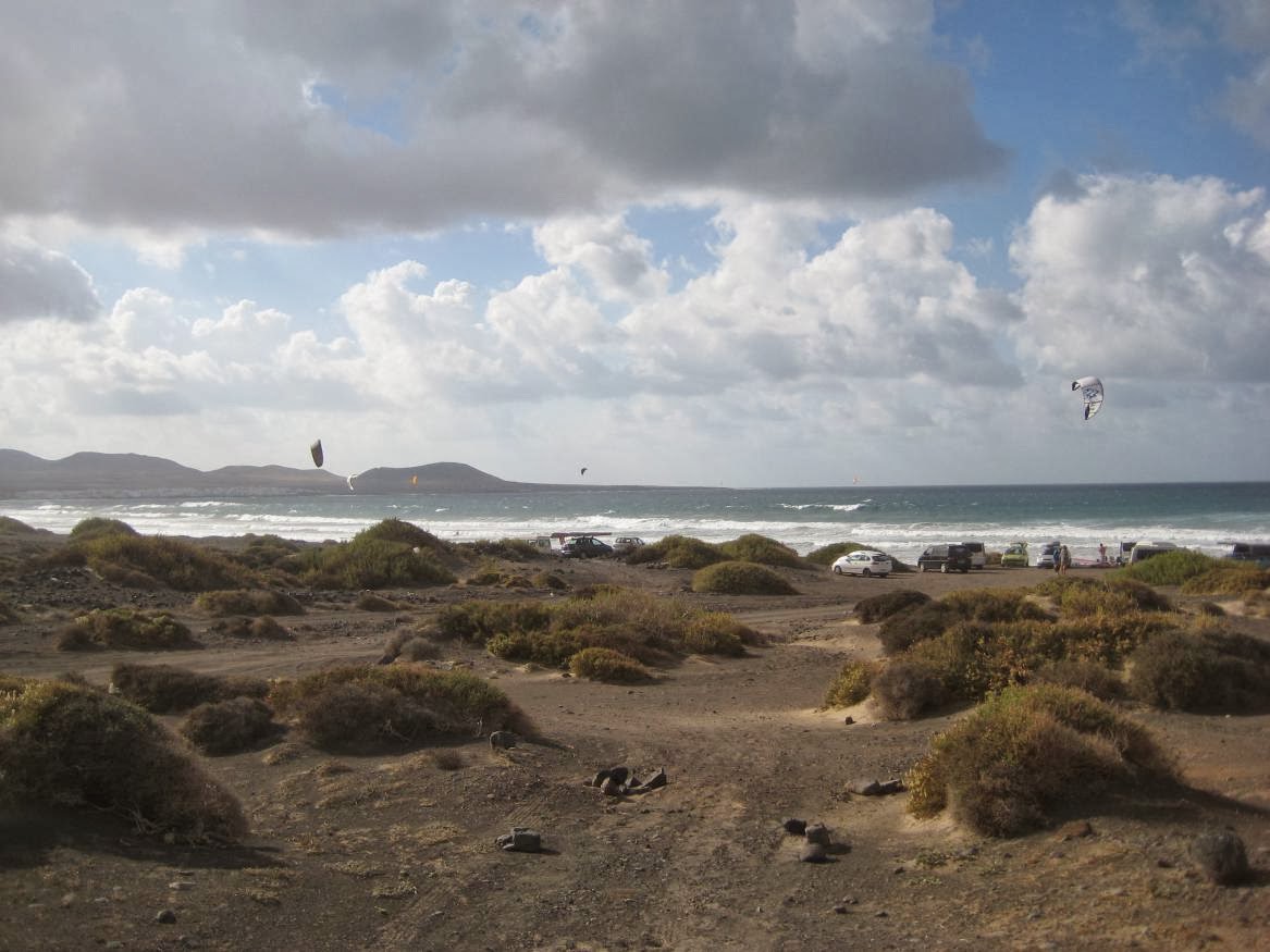
decided to walk from El Golfo to the odd little village of Tenezar,  which we expected would take about 6 hours.  The first part of our trek is in several guide books and follows  the coastal path through the Timanfaya National Park to Playa de La Madera.


We climbed up a rough footpath from the front in El Golf to the Yaiza road, where a  vehicle track heads north west, past an impressive villa on the hillside, before dropping down towards the coast through the lava fields to the black sand of Playa del Paso.   From there the path becomes a narrow ribbon cleared of most of the larger rocks, which are laid on either side to mark the route. 


It snakes around and over the blocks of lava, never far from the crashing waves. At one spot we saw hand-sized black crabs with red claws.

   
At another, patches of olivina studding the rocks,
  
  
and, at a strange grey beach, rocks folded and sculpted by the wind into shapes like abstract works of art. 

  
 After almost 5 hours of hard going, but having covered only 9 km,  in the drying wind of a fading calima, we arrived at Playa de La Madera – a favourite beach for BBQs, at the end of a track from Tinajo, and where sensible people would stop.  But did we stop? Oh no; we plunged on across the lava, only this time the “path” disappeared, to be replaced by blobs of paint every  30 metres or so, leaving us to clamber over razor-edged, shed-sized blocks of lava from one blob to the next.


Finally we missed a mark, and from then on the going got insane. If one of us had fallen, we would almost certainly have broken bones and sliced ourselves to shreds.  In normal places, this would have been bad.  Here it was downright scary, as the only way of getting a casualty out would be by helicopter. On we plunged, our maps useless, until after 7 hours we stumbled upon a trace track through the lava used by goatherds. By this stage, David P’s shoes were wearing out, and you could see his foot through the heel, and David S was in agony with his back from the constant jarring.  I was OK, except that by now we had almost run out of water, and the dust was making my eyes and nose stream. After about 8 hours, we finally came to the road into Tenezar, where we kissed the tarmac in gratitude. Having retrieved David P’s van from Tenezar, we retreated to Tinajo, where David  ceremoniously binned his shoes, and we staggered into a bar.


On  a serious note, the sign at the start track leaving Playa del Paso for Madera, says “This entails a great physical effort. Do not overestimate your physical condition. Make sure you wear sturdy shoes (volcanic rock is very abrasive). Remember to carry food which is rich in carbohydrates, water, and protection from the sun (cap, hat lotion etc). Do not follow this route if you are with babies, young children or if you have heart or respiratory problems. Your health may suffer due to the physical effort, and tough weather conditions.” And that was about the easy part of the route!

If you want to visit Playa de la Madera, or Tenezar – and Tenezar in particular is worth seeing, you should go on the road and track from Tinajo, by car, bike or on foot, but don’t attempt the coast between. We have read the odd guide book which talks about a path leading South out of Tenezar to Madera, and one day we may try to follow it from the Village, but if disappears, we will turn back!

Monday, July 4, 2011

The Last Lap

Yesterday, I finally finished my circumnavigation of the coast of Lanzarote.  It's taken me about 44 hours, spread over the last 20 months, interspersed with many other walks. Originally I had no plan, just doing various stretches of the coast as the fancy took, but I eventually realised I could join them all up and complete the circumnavigation.  I intend to write up the walks at some time, but I'll just describe yesterday's walk in this post.

We walked from the Jameos del Agua to Orzola (at the very north of the island) and back, a total of about 12 miles unfortunately all along the road, because there is not a viable footpath for most of the distance.  I'd been putting off this stage, partially because of that, partially because it's the furthest from my home in Playa Blanca  but also because I've driven the route many times. Of course, walking it was totally different - you find hills you didn't know were there, and you get to see the seascape, which is pretty dramatic along there, because the NE trade winds blow straight onto the rocky shore. It looks like good surfing - except that the razor-sharp rocks would make it a little challenging!


At Orzola, I had my picture taken at the end of my "mission" then retired to a bar for a beer.


My companion then managed to snap her sunglasses (essential wear), but the bar owner provided some sellotape - the alternative would have been the schoolboy trick of using a sticking plaster!  There were some spectacular gardens, and views, as you can see here.


When we eventually got back to the car, we drove nearly all the way back to Orzola to one of my favourite beaches. The rocks go out in two arms to meet a barrier of more rocks about 200 metres out, which prevent the waves reaching the shore. They enclose a huge area of turquoise water only a few feet deep, over a completely clear, sandy bottom.   We had a refreshing swim in the warm water, before leaving for home, and the resumption of normal life.

Thursday, June 30, 2011

Montaña Ortiz 14 June 2011

Just north of Montaña Negra and Caldera Colorada, between La Geria and Timanfaya, is  Montaña Ortiz, which at 453 metres, rises about 100 metres above the surrounding lava fields.  The mountain, like many others, was formed by multiple eruptions, each bringing different rocks to the surface.  In consequence, the rim of  the crater is rocky, grey outcrops, with a belt of bright red rock, obviously rich in iron oxide. Further down, the middle part of the slopes is the usual mixture of clay and rocks which give way underfoot, making climbing treacherous, and the bottom belt is deep picon - easy to "surf" down, but very wearing to climb up! Over the picon is scattered a dusting of bright red pebbles and rocks.  Some of the layers of rock are clearly permeable, whilst others are impermeable, and one of the latter layers comes to the surface at the base of the southern flank of the mountain, where, at the bottom of a picon slope is a well, surrounded by a stone wall.  Around the base are deep deposits of picon, and there are plentiful signs of  abandoned farming around here, made possible by the well in what would otherwise be an an arid landscape.  Several huge old fig trees are enclosed by sheltering walls, now untended since the tourist industry became more lucrative than hard work in the blazing sun.

We walked around Caldera Colorada which has an amazing bright red aspect, along a well made path,which has several new, informative display boards, explaining the features of the landscape.


One of these is a volcanic "bomb" a huge boulder blown out during an eruption, going miles into the air before landing with a colossal noise - you can see the scale from the photograph.

Caldera Colorada and Volcanic "Bomb"
 We intended to climb Colorada that day, but by the time we had walked most of the way around looking for the best ascent, we saw Ortiz, and got diverted into going around that! We approached via a grove of giant Agaves - the spiky plants that throw up a huge (5 metre) flower stalk, and then die - and the  fig plantations, to the well.


Giant Agave - Caminante on skyline!

Figs, picon, and well (between red and black lava)


Well

 We then walked around until we found a slope which had some vegetation giving a foothold in the picon, taking us up onto a ridge.  From there, we clambered up the muddy, stoney slope, taking great care not to slip.


Muddy slope, and lower ridge
We were surrounded by dozens of tiny butterflies - blue female and grey male, chasing each other in a mating dance. Finally, we popped, with some relief, onto the rocky summit ridge, and scrambled up to the very top where there is a large concrete trig point.

The summit

 It amazes me how they get them there - there was no possibility of getting a vehicle up there ,and no obvious paths for a goat, let alone a donkey or camel.  We were amused by the relatively large lizard, who came to see what food we had, and happily clambered over our feet.

Lizard looking for food
We found a slightly less steep slope down onto another ridge - going down a slippery slope is much worse than going up - and from there we had a 30 metre rapid descent down a picon slope, and repaired to a local watering hole for a well deserved beer.

Monday, June 27, 2011

Yé to Famara along the cliff path

Five of us did the Walk! Lanzarote Route 33 (with a diversion to the beach) from Yé to Famara along the path halfway up the 2000 foot cliffs on Sunday 24 Oct 2010.


It's about 10 miles long, and took us overall, about six hours, because of frequent stops for photos, and some tricky section. Firstly, I would not recommend the route, in its present state, to anyone who is not a reasonably confident rock climber, because the path had fallen away in two places. At the first, all that is left is the top of a very steep scree slope down to the sea.  You have to cross that, clinging to the rock wall like a gecko, with the scree collapsing under your feet if you stop moving. At the second where the path crossed a gulley, it has completely gone, and someone has hammered a cleat into the rock wall to enable a rope to be used.  In the event, we got across by climbing down into the gulley – which itself was a precipitous slope down to the sea, and back up a 20 ft crumbling rock wall on the other side. 

Aside from that, it was an amazing walk. We met in Famara and drove to Yé from where the path zig-zags down from about 1200 feet to the plain below, with the island of Graciosa across the straits.


It's quite safe, but rough going, and not good on knees and hips. From there we turned right to Playa de Rojo, looking across to Graciosa, before turning back, past the foot of the zig-zags, and starting the long gentle climb up the cliff path. At its highest point, it gets to about 1000 feet, before descending down to the coastal plain behind the Famara beach.


The path has been blasted out of the cliff face for about 5 miles – why, I don't know.  In places it's only a couple of feet wide, in others about twenty feet wide. In many places you have to clamber over piles of fallen stones.


And in others, it is barely there


The views are spectacular, and the cliffs awesome.  We saw several podenco dogs roaming around, and smelled, long before we saw, the ram that obviously ruled the mountain sides! There were several dead gulls on the path - we assumed they either crashed into the cliff face above, or died higher up, and the path broke their fall.  There were also a couple of goats in kit form on the path.  We supposed that, with all the goats leaping around, once in a while, one misses!  This photos shows a pinnacle that the path goes behind:


and this one looking back from Famara shows the same pinnacle half way up the skyline and (faintly), the path going along the cliff face at that level.


Eventually, we reached the Famara beach, and enjoyed taking our boots off and walking in the surf, keeping an eye out for the cables of the kite surfers.  Then after a beer (of course) we climbed into the Landrover we'd left there and took the old track back to Teguise (almost as scary as the cliffs!) then through Haria back to Yé  where  our cars were parked.

Wednesday, June 8, 2011

Montaña Cuervo and Montaña Negra

The island of Lanzarote is dominated by volcanoes and lava fields, varying in age from twenty-one million years to a few thousand. Over time this resulted in a mountainous landscape, ranging from great cliffs and glens, to isolated hills in a sea of old lava. In places this has been covered by deep sand, blown in from the Sahara to form the agricultural land called Jable. One of the most productive areas of farming was destroyed in the 1730's by the eruptions at Timanfaya, which resulted in dramatic mountains rivalling the Cullins, and many square Kilometers of jagged lava. A lot of the existing vocanoes and valleys were deeply covered in what is called picon - small granules of porous lava, mainly black - like the core of a Malteser. In between the northern end of  the valley called La Geria and Timanfaya is an area of deep picon with several younger (C5000 years) volcanoes protruding. One of these, Montaña Cuervo, has a relatively low, jagged rim, gashed down to ground level at one side, allowing easy access into the double crater.


This is a remarkable sight, containing so many different rock types and formations in a small area, including thousands of embedded chunks of Olivine (called Peridot when of gem quality). One side of the mountain, and half of the crater walls are covered in a thick layer of picon, as though a giant has thrown a bucketful at it!


About a kilometer away is Montaña Negra, a much larger (500 Meter) old volcano with a small crater, entirely covered in thick, black picon.    At its base, facing Montaña Cuervo, is a small, roofless stone building housing a covered well - a great rarity on an island with no surface water.


Spiralling up the mountain from the building are footpaths entrenched into the picon. The climb is incredibly tiring, like scaling a giant sand dune, as your feet sink deeply in at each step, and so each pace only achieves half the gain in height you expect. 


When, eventually you reach the crater, there is an unexpected profusion of vegetation, with an ancient olive grove, thousands of wild geraniums, and a sea of Sedum (Stonecrop). Although the landscape is very barren, the isolated bulk of Negra precipitates what moisture there is from the prevailing North East trade winds. The water trickles through the picon, which protects it from re-evaporation and keeps the fertile volcanic soil moist. (This is the same way grapes are grown in bodegas in La Geria which produce the Malvasia wines.)


Its central position on the island means that the view from the top of Negra is outstanding, covering the whole of Lanzarote, the archipelago of smaller islands to the North, and the Northern end of Fuerteventura to the South. Far below, you can peer down into the crater of Montaña Cuervo across the fields of picon. 


 The descent, whilst far less strenuous than the climb, does require a deal of attention, to keep one's footing, and to avoid going faster than is safe. Tobogganing down lava on the seat of your pants is not recommended!


Monday, May 9, 2011

The idea behind Lanzarote on Foot

I've lived in Lanzarote since October 2009 and during that time, I've walked all round the coast, and up many of the accessible mountains. Some of the walks I've done are taken from various guide books, others were just a case of looking at the map and going for it.  I hope eventually to complete my circumnavigation, and climb all the mountains!  Sometimes I walk alone, (although nowadays only in the places frequented by others!) sometimes with one or two friends, and sometimes with the walking group of which I'm a member.

I intend to start off by recounting some of my more recent walks, and then, as the mood takes me, recall earlier ones,  using photos to illustrate the descriptions.  I may also write themed posts based on what I've seen to link into Sepia Saturday